In Västerbotten and Västernorrland, it rained around 50 millimeters in the last 24 hours, from Thursday to Friday morning. At Röbäcksdalen's measurement station in Umeå, 51.2 millimeters of rain were measured.
It's a lot, says Fredrik Schück, who is the on-duty hydrologist at SMHI.
A road in Röbäck has been damaged and another has been washed away in Vännäs municipality, reports VK. Several streets and roads have been flooded.
The orange warning for Västernorrland and Västerbotten's coastal areas remains in effect until Friday evening. For Saturday, a yellow warning for high water flows in the area applies.
There are very high water flows in streams, rivers, smaller watercourses, and soil, which is saturated. The rain that came yesterday flowed on top of it. Today, the water flows will decrease and be normal tomorrow, says Fredrik Schück.
For the northern Norrbotten coastal area, a yellow warning for high water levels and strong winds applies until 16:00 on Friday.
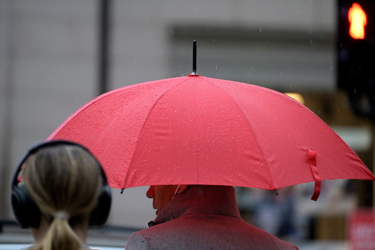
In Stockholm, too, the rain has poured down. The area has received between 20 and 40 millimeters in the last 24 hours. In Berga, Färingsö, a maximum of 41 millimeters was measured. A yellow warning remains in effect until Friday evening.
Drier weather is on its way.
There will be a bit more rain, but not in the same amount, says Fredrik Schück.