During the week, Hurricane Kirk reached Swedish territory but lost much of its strength.
We have this low-pressure system moving north over the country, which is what's left of Hurricane Kirk, says SMHI's meteorologist Emma Rosengren.
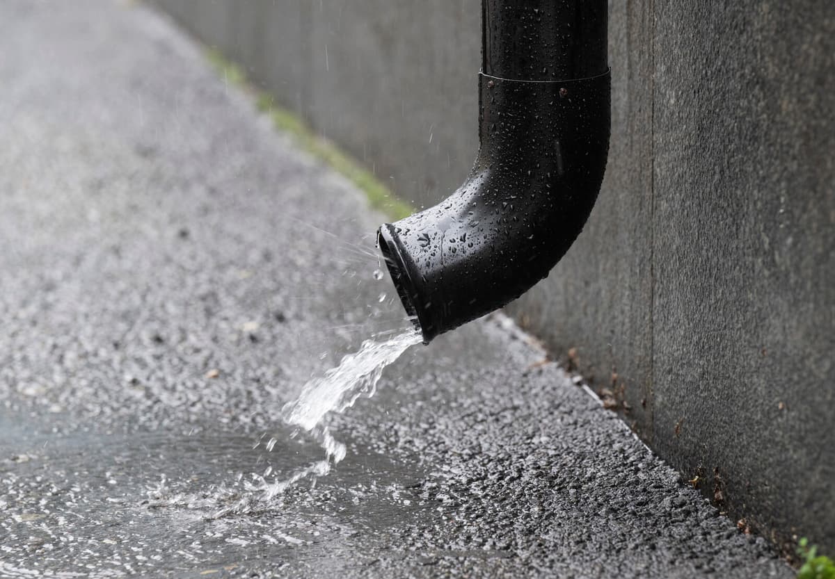
In the coastal areas of Västernorrland and Västerbotten, the most rain is expected on Friday. Both yellow and orange warnings have been issued for high water flows, and the yellow warning remains in place on Saturday. The Stockholm area is also being warned on Friday.
It's raining a lot and the ground is getting saturated. It has to drain somewhere, and then it can lead to high water flows in watercourses.
At the same time, a yellow warning for snow is in effect in western Norrbotten, where 10-15 centimeters are expected.
Great Sunshine Chances
The low-pressure system moving north from Västerbotten means that precipitation will decrease in the rest of the country on Friday.
It's going to be a fairly sunny day in most parts of the country. However, some showers may pass, mainly in eastern Svealand and later in the day in eastern Götaland.
It's also going to be quite windy at sea, with yellow warnings issued for strong winds. Along the northern coast of Norrbotten and the southern West Coast, warnings have been issued for high water levels.
In some areas, it's going to be quite windy when this low-pressure system passes. It's pushing water towards the coasts.
High Pressure After the Weekend
On Friday night, snow may fall in southern Norrland, Jämtland, and Västernorrland. Temperatures will drop in the country, with minus degrees down to Dalarna and Värmland – and possibly ground frost in the southern parts.
Sunday will be mostly cloudy, with a new low-pressure system passing east over the southern parts of the country. Both there and in the north, some rain showers may occur. Monday will also start unstable but will then clear up.
It looks like it's going to clear up from the west when a high-pressure ridge grows in and it becomes quite sunny in most areas, says Emma Rosengren.