The cyclone from Poland has been named "Karl-Heinz" in Europe. It is equivalent to a low-pressure system and should not be confused with a tropical cyclone, which is more serious.
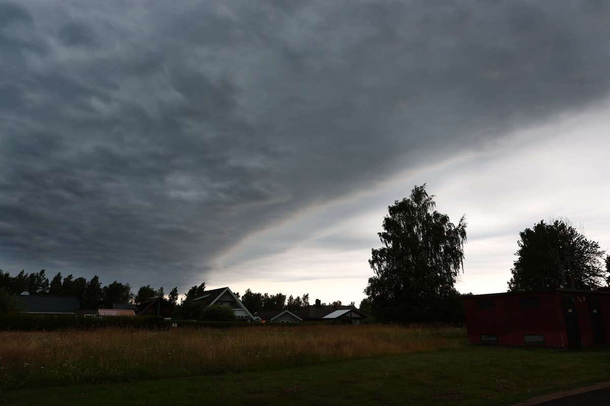
The orange warning applies from 04:00 on Tuesday morning. Local showers can bring as much as 100 millimeters of rain in some areas.
A normal monthly precipitation is around 80 millimeters, so in one day there will be a little more than a month's precipitation, says Charlotta Eriksson at SMHI.
According to her, there is also a risk of flooding in basements, viaducts, and stormwater systems. Additionally, thunderstorms are expected with the bad weather, something that in Poland has led to over 2000 households being without power. Even if the low-pressure system has been more powerful there, it cannot be ruled out that similar things will happen in Sweden.
If a lightning strike goes wrong, it can cause a power outage. But we assess that the biggest consequences will come from the rain, says Charlotta Eriksson at SMHI.
On Monday, a yellow warning applies when the bad weather is expected to hit Gotland.
On Monday morning and forenoon, the eastern parts of Västernorrland, Västerbotten, and Norrbotten have been affected by an earlier thunderstorm, where a yellow warning applies until the afternoon and evening.
By Tuesday, a yellow warning has also been issued for eastern Svealand, eastern Dalarna, and southeastern Norrland. From the night, rain and showers are expected, which can be heavy and cause problems with flooding, writes SMHI.
Facts: Weather warnings
SMHI has three levels of weather warnings:
Yellow warning: Consequences for society, some risks for the public.
Orange warning: Serious consequences for society, danger for the public.
Red warning: Very serious consequences for society, great danger for the public.