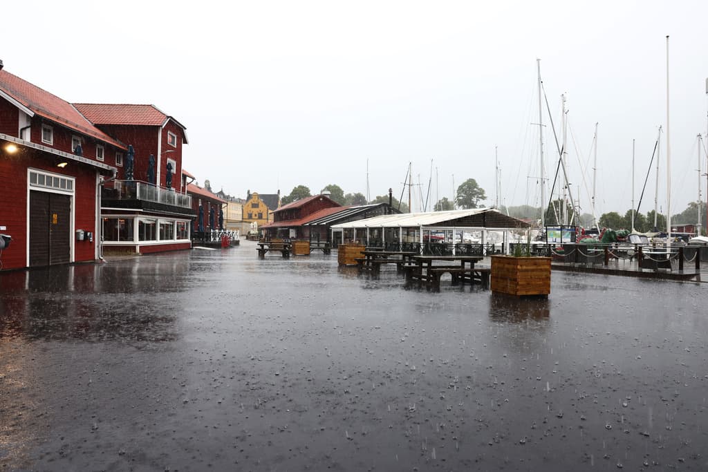
A storm with a risk of both heavy rain and thunder is approaching Sweden on Wednesday – and thousands of lightning bolts have already struck.
The Swedish Meteorological and Hydrological Institute's (SMHI) yellow warning has been extended to a larger area over southern Sweden.
The rain and thunder have already reached the west coast and Skåne. SMHI is warning that large amounts of rain can fall in a short time – between 40 and 60 millimeters – which can cause storm drains to overflow.
There is a risk of flooding – and thunder. It's already thundering quite heavily. Almost 19,000 lightning bolts had been registered by lunchtime.
It's quite a lot, says Therese Fougman, meteorologist at SMHI.
Some are not counted
Although the number will likely increase during the day, the final figure may be lower.
When counting for the entire day, some lightning bolts are sorted out, those that occur between clouds and those that do not reach a certain strength, she says.
Most rain has fallen in Rångedala east of Borås so far: 35.5 millimeters.
The statistics will be complemented with measurement stations that only report once or twice a day, says Fougman.
Difficult to predict
Right now, it's difficult to predict which areas will be hardest hit by the storm. The warning applies from southern Skåne up to Leksand in the north and Nyköping in the east – from lunchtime to 11 pm in the evening.
The front with thunder is moving east, but it hasn't come that far. Those who have experienced the weather so far have probably gotten a lot of rain.
In Götaland, Västtrafik warned about cancelled departures already on Tuesday. And on Wednesday morning, several trains were indeed cancelled on the routes Göteborg–Strömstad and Göteborg–Örebro. Even between Varberg and Uddevalla, departures were cancelled both on Wednesday and Thursday morning.


