It has warmed the global average temperature and extreme weather around the world. But now, the weather phenomenon El Niño is showing signs of coming to an end for this time, according to the UN's weather agency WMO.
It is likely that La Niña (the girl), the opposite of El Niño (the boy), will take its place later this year.
The forecast indicates equal chances (50%) for neutral conditions or a transition to La Niña during June-August. The chance of La Niña conditions increases to 60% during July-September and 70% during August-November.
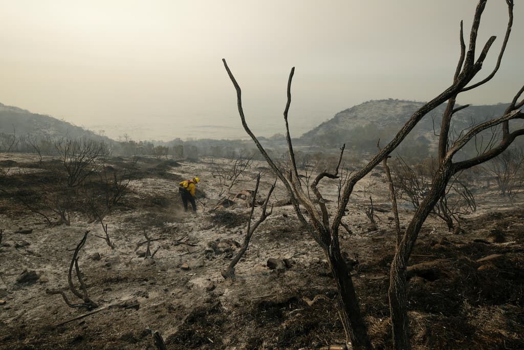
La Niña cools the surface water in the tropical Pacific Ocean and changes the atmospheric circulation. This can affect the weather worldwide, often leading to more hurricanes in the Atlantic and less rain and more fires in western USA. However, the effects vary depending on intensity, duration, and interaction with other climate variations.
2023 was the warmest year ever recorded globally.
"The end of El Niño does not mean a pause in long-term climate changes since our planet will continue to warm up due to heat-trapping greenhouse gases," says WMO's Deputy Secretary-General Ko Barrett in a comment.
"Exceptionally high sea temperatures will continue to play a crucial role in the coming months."
El Niño and La Niña are phases in the El Niño-Southern Oscillation (ENSO) weather cycle. El Niño warms the surface water in the eastern parts of the Pacific Ocean, while La Niña cools it.
El Niño returns on average every other year and usually lasts nine to twelve months. The peak often occurs around Christmas, hence the name El Niño (boy child).
El Niño effects such as increased rainfall typically affect parts of southern South America, southern USA, Africa's horn, and Central Asia, while severe drought can occur over Australia, Indonesia, and parts of southern Asia.
In 2023, a several-year episode of La Niña came to an end. In the summer, El Niño officially entered the Pacific Ocean.
References: WMO, SMHI


