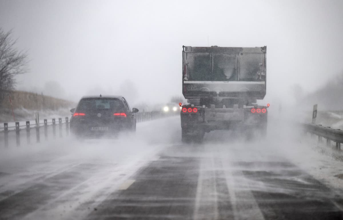
It may become slippery on the roads on Wednesday. SMHI issues a yellow warning and urges everyone who will be on the roads to adjust their speed due to sudden ice on the roads during the night and Wednesday morning.
The warnings for icy roads apply to the northeastern part of Svealand, the southern coastal areas of Norrland, northern Uppsala County, southern Gävleborg County, eastern Svealand, and northern Östergötland.
However, heavy precipitation is also expected, and a yellow warning for heavy snowfall is issued for northwestern Svealand and southern Norrland. It will also be windy.
At 10 pm on Tuesday evening, a fairly intense rain shower will move in from the West Coast. By the early hours of the morning, it will reach Värmland and Dalarna and turn into snowfall, says Erik Höjgård-Olsen, meteorologist at SMHI.
It is in the transition zone between rain and snowfall that the risk of icy roads is high.
The forecast is for a fairly heavy rain with around ten millimeters in six hours during the night. When the rain moves north, it will turn into snowfall, and around ten centimeters of snow are expected in six hours.
The southern and northern Lapland mountains are also covered by an orange warning for strong or very strong winds in combination with snowfall on the mountain peaks – and SMHI warns against unnecessary travel to the mountains. The warnings will take effect on Wednesday.
Facts: SMHI's warnings
SMHI (Swedish Meteorological and Hydrological Institute) issues weather warnings on three levels:
* Yellow warning: Consequences for society, some risks for the general public.
* Orange warning: Serious consequences for society, danger for the general public.
* Red warning: Very serious consequences for society, great danger for the general public.


