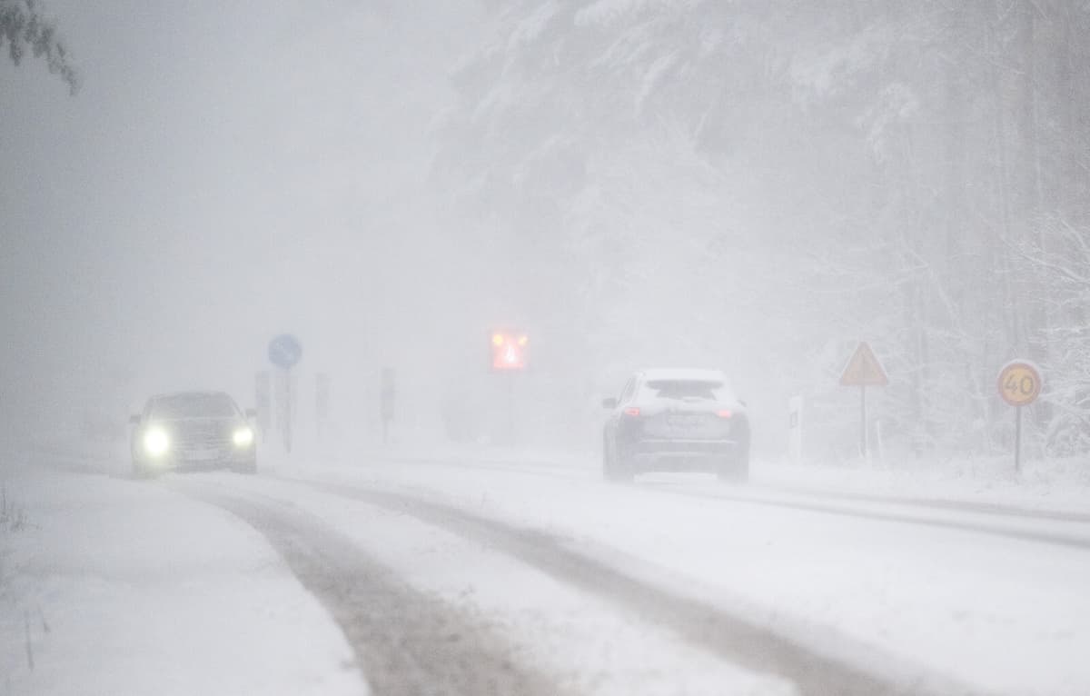
It is certainly only a yellow warning, the lowest level on a three-tier scale, which has been issued for large parts of Götaland, Gotland, and southernmost Svealand. But the uncertainty is great, notes Viktor Bergman, meteorologist at SMHI.
Where it is at its worst, up to 15 centimeters of snow can fall, and much of it looks like it will come in a short time – in just a few hours, he says.
Locally, it can become really troublesome weather, and it is also in combination with strong winds. We have hard to very hard gusts of wind in connection with this. On the west coast, it can even reach storm levels, even on Gotland.
Göteborgs-Posten writes that Västtrafik is cancelling all trains between Borås and Varberg, as well as between Uddevalla and Strömstad, from midnight due to the bad weather.
SMHI warns that it may be difficult to get around in traffic due to the snow, or traffic accidents and stationary vehicles as a result of this. But currently, no warning has been issued about traveling in the affected areas.
One should exercise caution in traffic, says Bergman and continues:
There is no warning on the orange level. But it is clear, locally it can have such an impact. But it will not last particularly long, it is only for a few hours that it is really troublesome. The whole thing passes fairly quickly, it moves in from the north during the early morning hours and already by morning it has moved away from the southern parts.
The warning applies to Gotland on Friday afternoon.


