The Swedish Meteorological and Hydrological Institute (SMHI) has issued yellow warnings for snowfall over central and northern Götaland, southwestern and northwestern Svealand, and southernmost Norrland. The warnings are in effect from Thursday morning and for approximately 24 hours ahead.
During the night towards Friday, a yellow warning for snow has also been issued for the coastal areas of southern Norrland.
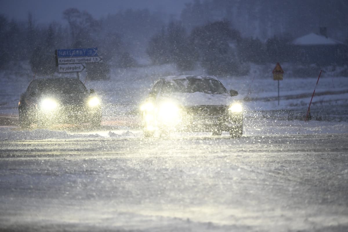
In the evening and night, the rain will turn into snowfall. However, it is somewhat uncertain, especially in Götaland, how much wetness the snow will have, says Hilda Westberg.
North of Lake Vänern and Lake Vättern, there will be more snow. There, 10-15 centimeters of snow can be expected, locally up to 20 centimeters, before it subsides.
The bad weather may cause disruptions in the power and telephone networks and in traffic, warns SMHI and advises to adjust speed to road conditions and visibility.
In Götaland, it will be around zero degrees, so the precipitation can cause slippery roads due to slush or ice. When the snow increases, visibility may also deteriorate.
Towards the weekend, further precipitation is expected.
It looks like the low-pressure system is waiting in line now, so there may be more rain and wet snow, and possibly also stronger winds in some areas, says Hilda Westberg.