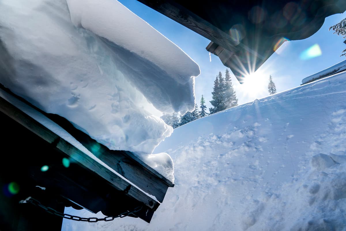
Next week, there may be some replenishment in Norrland, but it's scarce with snow in many parts of the country, says Linnea Rehn Wittskog, meteorologist at SMHI.
In the current situation, there is snow over Norrland's inland and mountains and down to northwestern Svealand, which is expected to remain. In southern Sweden, it will be quite mild next week, possibly getting a bit colder towards the weekend, but not much snow in the forecasts.
There may be some snow in the south before Christmas, but where and how much is difficult to say yet, says Linnea Rehn Wittskog.
The chance of a white Christmas has decreased over the past 30 years, particularly in the southern parts of the country. Götaland has gone from 45 percent white Christmases during the years 1961-1990 to 30 percent during the last 30-year period, according to data from SMHI.
The same trend is also seen in Svealand, where the number of white Christmases has decreased from 75 percent to 59 percent.
This is not surprising, but is in line with what research on climate change shows. It's getting milder and fewer snowy days, mainly in southern Sweden, and thus less chance of a white Christmas, says Linnea Rehn Wittskog.
To see how the climate changes over time, comparisons are made between so-called normal periods.
The normal periods are usually 30-year periods, where 1991-2020 is the latest normal period.
The climate development is then visualized in the form of climate indicators and normal maps. Now there are new maps from SMHI that show normal values for the periods 1961-1990, 1971-2000, 1981-2010, and 1991-2020, as well as the change between 1991-2020 and 1961-1990.
Source: SMHI
Norra Norrland
1991-2020: 98 %
1961-1990: >99 %
Diff: -1 percentage unit
Södra Norrland
1991-2020: 90 %
1961-1990: 96 %
Diff: -6 percentage units
Svealand
1991-2020: 59 %
1961-1990: 75 %
Diff: -16 percentage units
Götaland
1991-2020: 30 %
1961-1990: 45 %
Diff: -15 percentage units
Note: The averages refer to averages for measuring stations.
Source: SMHI


