The Swedish Meteorological and Hydrological Institute's yellow warning – the lowest on the three-grade scale – covers southern and central Lapland mountains, as well as northern Jämtland mountains. The warning of hard to very hard wind in combination with snowfall applies until 18:00 on Saturday.
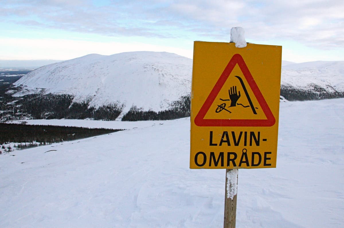
Moreover, the avalanche risk is high – a four on the five-grade scale – in western Vindelfjällen due to significant amounts of new snow, large amounts of older loose snow, and hard winds, according to the Swedish Environmental Protection Agency's website Lavinprognoser.
The drifting snow is expected to be very sensitive in many places and will settle on an already weak snow cover around the tree line. Even existing slabs will cause avalanche problems.
Avalanches are estimated to be large enough to break trees and have the power to destroy a car.
In southern Lapland mountains, the avalanche risk is estimated to be significant, a three on the scale.
"A person's load is estimated to be sufficient to trigger large avalanches," it says on the website.
In the other four mountain areas covered by the Swedish Environmental Protection Agency's website, there is a moderate risk.
The avalanche warnings apply for the time being until Saturday at 18:00.
The avalanche risk is divided into a five-grade scale:
1. Low risk. Conditions are generally safe. The snow can be unstable in individual places. Avalanches are unlikely.
2. Moderate risk. Hazardous conditions in parts of the terrain. It is possible for people to trigger avalanches, but spontaneous avalanches are unlikely.
3. Significant risk. Hazardous conditions. It is likely that people will trigger avalanches and spontaneous avalanches are possible.
4. High risk. Very hazardous conditions. It is very likely that people will trigger avalanches and spontaneous avalanches are possible.
5. Very high risk. Human-triggered and spontaneous avalanches will occur with certainty.
Source: Lavinprognoser.se