The Swedish Meteorological and Hydrological Institute's yellow warnings for snowfall remain in place for parts of the country. From Thursday morning and into Friday, locally up to 20 centimeters of snow can be expected.
The warnings apply to northern and central Götaland, extending over western Svealand and – towards the afternoon – southernmost Norrland.
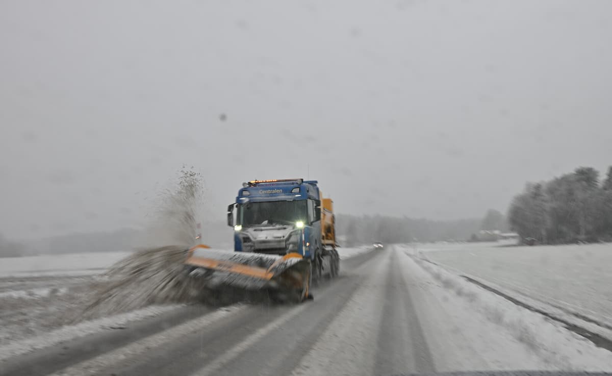
The winter weather led to some accidents during Thursday morning, but by lunchtime, no major traffic problems had been reported.
We have not received any reports of major problems yet, but we have good preparedness, says Katarina Wolfram, press communicator at the Swedish Transport Administration.
The precipitation was expected to start as rain and wet snow along the West Coast, but further inland, occasional heavy snowfall is expected. Since the temperature is expected to be around zero, it will mainly be heavy, wet snow.
In the southern parts of the warning area, the warnings primarily apply to Thursday and the night towards Friday, while in northwestern Svealand and southernmost Norrland, including the coastal areas, the warnings are expected to last somewhat longer.
The snowfall is supposed to move upwards, so all our contractors are informed and keeping an eye on the situation. We have also reviewed the personnel situation, but so far, we have not deemed it necessary to increase it, says Katarina Wolfram.