The Swedish Meteorological and Hydrological Institute's warnings for wind in combination with snowfall apply to the southern Lapland mountains, Härjedalen mountains, and Jämtland mountains from lunchtime on Monday.
In the Lapland mountains, the warning applies until Monday evening at 19:00 and for the other areas until 06:00 on Wednesday morning.
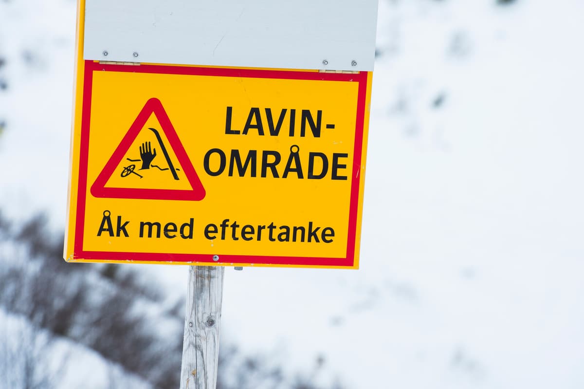
Furthermore, there is a significant avalanche risk, a three on the five-grade scale, with hazardous conditions in five mountain areas.
These areas include western Härjedalen mountains, southern Jämtland mountains, southern Lapland mountains, western Vindelfjällen, and Abisko- and Riksgränsfjällen, according to the Swedish Environmental Protection Agency's website Lavinprognoser.
In the affected areas, sensitive snowdrifts have formed that can easily be set in motion.
"It is very easy to trigger avalanches and they can become very large", states the comment for Vindelfjällen.
In the Kebnekaise mountains, there is moderate risk, a two on the five-grade scale.
The avalanche warnings currently apply until Monday at 18:00, but in all areas, the avalanche risk is expected to persist due to strong winds and more new snow.
The avalanche risk is divided into a five-grade scale:
1. Low risk. The conditions are generally safe. The snow may be unstable in individual places. Avalanches are unlikely.
2. Moderate risk. Hazardous conditions in parts of the terrain. It is possible for people to trigger avalanches, but spontaneous avalanches are unlikely.
3. Significant risk. Hazardous conditions. It is likely that people will trigger avalanches and spontaneous avalanches are possible.
4. High risk. Very hazardous conditions. It is very likely that people will trigger avalanches and spontaneous avalanches are likely.
5. Very high risk. Human-triggered and spontaneous avalanches will occur with certainty.
Source: Lavinprognoser.se