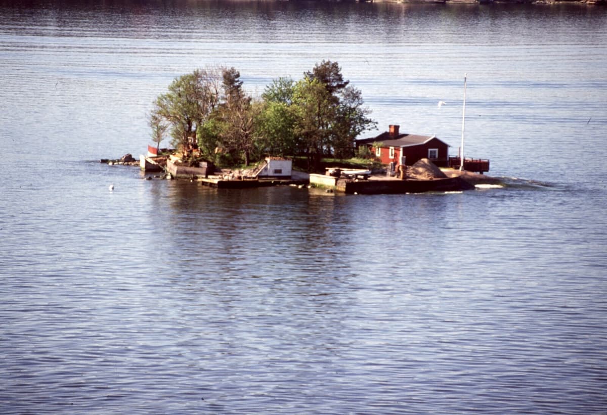
Over the past ten years, the sea level has risen by 4.7 millimeters per year, according to the World Meteorological Organization WMO. New land areas are being flooded, something that will continue for hundreds of years.
Urban planners must take into account this development in their work. But, of course, private individuals, and not least property owners, also wonder where the shoreline will be in 30, 50, or 100 years.
All Coastal Municipalities
The answers can be found in an updated web-based service that SMHI has developed. It shows future mean water levels for all of Sweden's coastal municipalities for each decade over the next hundred years.
We must all help each other and work to reduce emissions and influence what we can, so that we get a limited sea level rise and climate change in the future. Then, of course, it lies in everyone's interest to find out how the future levels change where you live, says Sofie Schöld, coordinator for SMHI's expert group for rising sea levels.
Land Uplift Slows Down
Those who use the service can compare where the shoreline will be, depending on the extent of climate change.
Example: In Malmö, the mean water level may have increased by between 20 and 26 centimeters by 2050, compared to the mean level during the reference period 1995–2014.
Gotland is expected to have an increase of between 13 and 18 centimeters, Falkenberg between 14 and 22 centimeters by 2050.
The sea level rise is occurring along the entire Swedish coast, but land uplift makes the effect vary. Along, for example, the High Coast in Ångermanland, land uplift is still greater than sea level rise.
In northern Sweden, the sea level rise is mainly noticeable because we experience it as the land uplift slowing down, says Sofie Schöld.