The researchers have looked at all cities with more than 600,000 inhabitants. The cities have been examined using advanced satellite calculations with an accuracy of 28 meters.
The researchers noted with surprise that 25 of the cities have subsidence in approximately two-thirds of their areas.
"In almost every city, we find subsidence rates reaching up to one centimeter per year in certain parts", writes Leonard Ohenhen, researcher at Columbia Climate School, to TT.
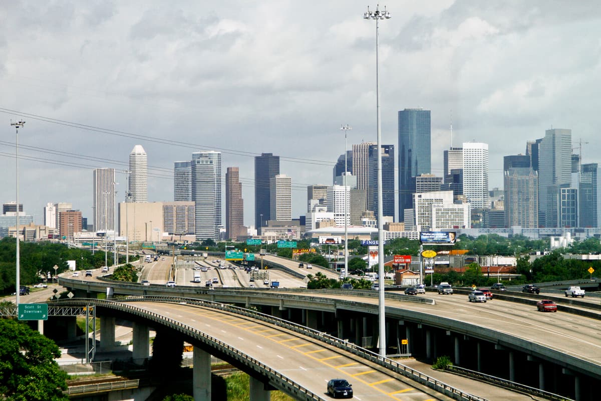
The worst situation is in Houston, Texas, where 40 percent of the area is sinking more than half a centimeter annually. At certain exposed points, the subsidence in the city is five centimeters per year.
Link to groundwater
The cities of Fort Worth and Dallas in the same state are almost as exposed, and parts of San Francisco, Las Vegas, and Washington DC are also sinking. The problems are worsening over time and must be taken very seriously, according to Ohenhen.
"It undermines in silence the resilience to flooding protection, increases drainage costs, and can accelerate the exposure of low-lying urban areas to chronic flooding", he writes.
In coastal cities, the exposure increases when the city sinks and the sea level rises.
"The flood risk increases much faster than just the sea level rise due to climate change. It accelerates the timeline for when cities face major adaptation challenges."
The cause of the subsidence is primarily that groundwater levels are decreasing when water is pumped up. The cavities that arise in the sediment when it disappears can eventually collapse and compress. If it concerns clay soil, it can be difficult for the ground to ever rise again, even if water were to be replenished.
Structural damage
At the same time, land uplift is occurring elsewhere after the last ice age. In local cases, rapid replenishment of water in coarser sediment, for example near watercourses, can cause the ground surface to be pressed upwards. In certain cities, both the ground is sinking and rising, which according to the researchers can imply an extra strain on buildings and infrastructure.
"The visible effects are cracks and long-term structural damage. Even if collapses are rare, the growing damage can make buildings unsafe and increase maintenance costs", writes Leonard Ohenhen.
The study is published in Nature Cities.
A research team in the USA, Canada, and the Netherlands has, with the help of so-called inSAR radar via Sentinel 1 satellites, collected data from the USA's major population centers between 2015 and 2021, to see land uplift and subsidence with an accuracy of 28-meter accuracy.
Maps were created based on this, showing the changes.
They also studied how groundwater extraction and trends in groundwater levels, and a risk assessment of buildings were carried out.