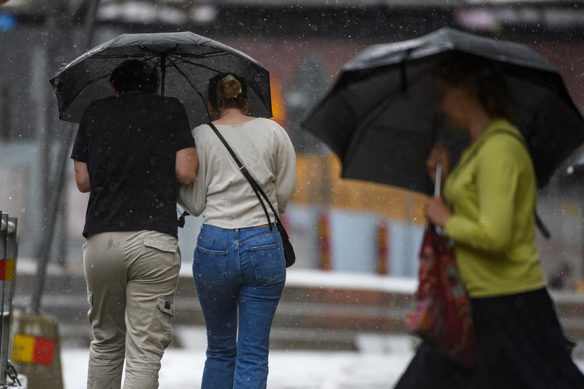
A high pressure has been over Sweden during the week and many have enjoyed the late summer warmth. On Friday, a cold front will sweep in over large parts of the country and cooler temperatures are expected over the weekend, already on Saturday in many places.
Overall, you can say that it will be about five degrees lower tomorrow than it has been today, says Erik Höjgård-Olsen, SMHI's on-duty meteorologist.
Warmth before the shift
In the beginning of next week, a new weather shift is expected and a bit of warmth will return. Then it will become more unstable with rain, clouds, and wind – and snowfall in the Norrland mountains.
A classic low-pressure system is moving up from the southwest. A bit warmer air follows this low-pressure system, but it also brings a shift to more unstable weather and several rain passages during the coming week, says Erik Höjgård-Olsen and notes:
There is not much sun in sight, mainly clouds and rain.
Autumn is here
September has been a record-warm month. On September 4, a new heat record was set with 31.1 degrees in Helsingborg and Lund.
Autumn has now arrived in large parts of Norrland's inland and mountain regions, as well as Dalarna, parts of Värmland, Örebro, and inland Småland, according to SMHI.
The definition of meteorological autumn is that the average temperature over a day should be below 10 degrees, for 5 days in a row after August 1. With next week's low-pressure system, more parts of Sweden can be defined as having meteorological autumn.
So it could be, says Erik Höjgård-Olsen.


