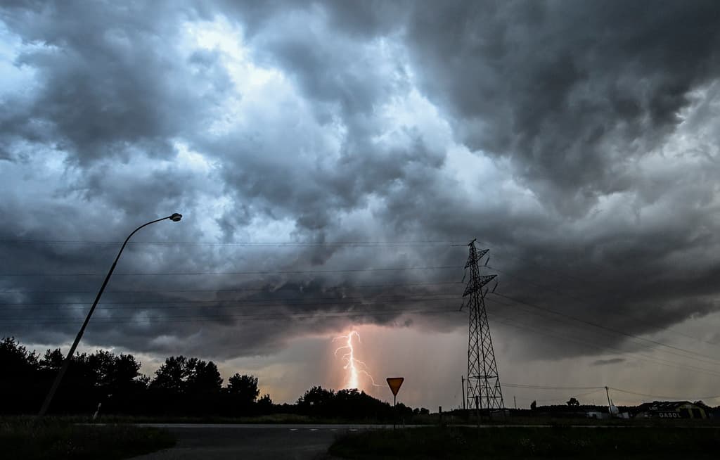
On Thursday, a severe thunderstorm swept in over northwestern Götaland and continued over Svealand. Several young people were struck by lightning during a football training session on Lidingö outside Stockholm, with three seriously injured.
No weather warning had been issued for Stockholm on Thursday. According to the Swedish Meteorological and Hydrological Institute (SMHI), this was because the thunderstorm developed in warm air, making it much more difficult to predict.
On Friday, a new thunderstorm warning has been issued for Stockholm and parts of Södermanland and Uppsala counties. On Friday morning, the front with thunderstorms is located over Östergötland and southern Sörmland, moving northeast towards Stockholm.
We're monitoring radar, satellite images, and our weather models, which indicate a risk of severe thunderstorms, but we can't say whether it will be as bad as yesterday or not, says Linnea Rehn Wittskog, on-duty meteorologist at SMHI.
The thunderstorm that's coming now is linked to a cold front with clear boundaries between warm and cold air, making it a textbook example of how thunderstorms develop.
The bad weather may lead to risks of fires and disruptions to the power supply and train traffic due to lightning strikes. It may also bring torrential rain, leading to flooded basements, drainage systems, and roads.
By lunchtime, the bad weather is expected to move out to sea.


