
Key facts
- Address
- Kyrkbyn, HasselaMap and directions
- Website
- nordanstig.se
- Phone
- 0652-360 00
Facts checked November 2026.
Is this your venue? Verify your listingAdvertise with us
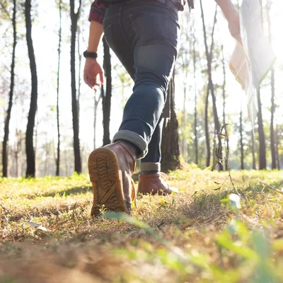
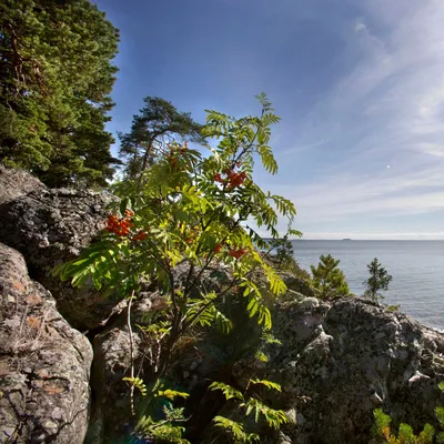
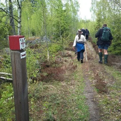
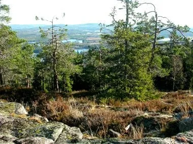
Vallstigen runs from the outdoor swimming area in Hassela to the harbour at Norrfjärden, from west to east across Nordanstig. The route is 59 kilometres long. It passes 14 places named after existing or former fäbodvallar, traditional summer pasture settlements, and climbs from sea level to 330 metres above sea level at Västansjökullen. Along the way, walkers pass streams, hills with views, and sites with information about local history, geology, wildlife and nature reserves. The trail has rest huts and wind shelters, simpler rest stops with benches, places to camp, and opportunities to swim. Hassela and Norrfjärden have showers.
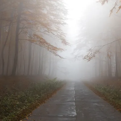
The municipality says an inspection from autumn 2024 to spring 2025 found that signs and trail markings need improvement, and that some sections need clearing or repairs to boardwalks and small bridges. Some parts may be wet or overgrown, and the municipality says it has no updated information about the effects of the 2025–26 winter storms. It recommends using the trail on Lantmäteriet’s Min karta digital map for navigation. A Vallstigen brochure includes maps and information about the fäbodvallar and rest huts.
Good to know
Use Lantmäteriet’s Min karta to follow the trail; the municipality says Vallstigen is marked there and the service is available as an app. The Vallstigen brochure has maps and information about sites along the route, but not current trail conditions. For questions about the trail’s layout, operation or maintenance, call the municipality’s culture and leisure unit on 0652-360 00.
Pictures


Picture 1 of 2
Licence: CC BY 4.0, croppedReport this image
Get there
Kyrkbyn, Hassela
Ratings and reviews
The readers' rating shows from 3 ratingsBeen to Vallstigen- hiking trail? Rate it with the same Sweden Herald account you use for comments. Ratings come from readers only, never from the place, and nobody can pay to change them.
More things to do in Gävleborg
See the list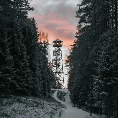
Sources and data
Visit Sweden national API and Sweden's regional tourism organisations. Text and ranking by Sweden Herald. Facts are checked against the sources above; opening hours and prices can change, so check with the place before you go.
Something wrong? Tell us · Work with us · Updated 7 November 2026