
Key facts
- Address
- BönavägenMap and directions
- Access
- The route includes narrow paths on hilly ground as well as broad, flat roads.
- Website
- naturkartan.se
- Phone
- +46 26 17 80 00
Facts checked November 2026.
Is this your venue? Verify your listingAdvertise with us
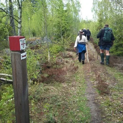
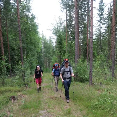
The Norrlandet coastal trail is a 15 km walking route between Engeltofta and Marskärsudden. You can walk the full route or choose a section. It passes manor houses, holiday homes, deep forest and historic buildings. Underfoot, the route follows roads shared with cars and bicycles, gravel paths and trails. The terrain ranges from narrow paths on hilly ground to broad, flat roads. Walkers encounter different footing as they move between sections.
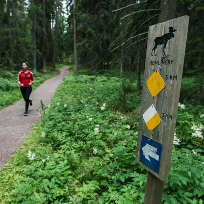
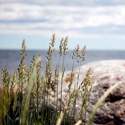
Short diversions lead to beaches and headlands beside the sea. Gråberget is a popular viewpoint overlooking the water. Thirteen orientation boards along the route show its course and mark grill areas, swimming spots and toilets available in summer. The trail listing suggests Soludden, Utvalnäs udde and Marskärsudden as places to stop for a meal or coffee. Bring your own firewood if you plan to use a grill.
Good to know
Choose the full route or walk a section. Bring your own firewood if you plan to use a grill.
Pictures


Picture 1 of 2
Licence: CC BY 4.0, croppedReport this image
Get there
Bönavägen
Ratings and reviews
The readers' rating shows from 3 ratingsBeen to The Norrlandet seaside hiking trail? Rate it with the same Sweden Herald account you use for comments. Ratings come from readers only, never from the place, and nobody can pay to change them.
More things to do in Gävleborg
See the list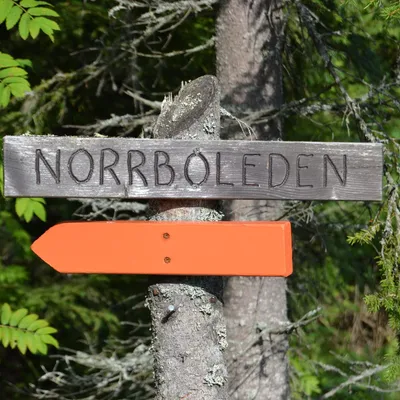

Sources and data
Visit Sweden national API and Sweden's regional tourism organisations. Text and ranking by Sweden Herald. Facts are checked against the sources above; opening hours and prices can change, so check with the place before you go.
Something wrong? Tell us · Work with us · Updated 7 November 2026