
Key facts
- Address
- StormorshällMap and directions
Facts checked November 2026.
Is this your venue? Verify your listingAdvertise with us
Five signed routes start at Stormorshällstugan. They differ in length, hills and difficulty. Lugnetleden is a 400-metre sprint loop near the cabin, suitable for interval training or young children. The 7.5-kilometre Vadslingan is the easiest route and passes through Lugnesjön nature reserve; the site says it does not require a mountain bike. Björnstigen is 3 kilometres, mostly on an old ski trail, with some technical sections and boggy ground. The 4.5-kilometre Stormorshällslingan has steep hills and technical sections. Stormorstrailen is 8 kilometres and passes Lugnesjön, a glacial esker, a barbecue shelter and Stormorshällen. The site describes it as suitable for trail running and walking, and says it involves very technical cycling.
There are also two marked running routes using yellow reflectors. They split after 2 kilometres, and the longer route later rejoins the shorter one. The five cycling and walking routes have colour-coded square signs, with reflective arrows showing direction.
It warns that roots and stones can become slippery, and advises visitors to check the ground and weather. Cyclists must yield to other trail users and slow down when passing. Keep dogs leashed and take rubbish home. Some routes cross lit ski trails, which should not be used in winter when ski tracks are prepared.
Good to know
Check the ground and weather, as roots and stones can become slippery. Cyclists should yield and slow down when passing; keep dogs leashed and take rubbish home. Avoid sections crossing lit ski trails when ski tracks are prepared in winter.
Pictures

Picture 1 of 1
Licence: CC BY 4.0, croppedReport this image
Get there
Stormorshäll
Ratings and reviews
The readers' rating shows from 3 ratingsBeen to Stormorshäll bike and hiking trails? Rate it with the same Sweden Herald account you use for comments. Ratings come from readers only, never from the place, and nobody can pay to change them.
More things to do in Gävleborg
See the list ActivityNight Trail Run – make autumn a little more fun!Malenebergsvägen 6, Söderhamn
 ActivityHällmyra/Hällåsen walking trailFlygvägen, Söderhamn
 NatureTrails in Sandviken
 ActivityVandra och spring på Högbo Trail-ArenaGruvvägen 14, Sandviken
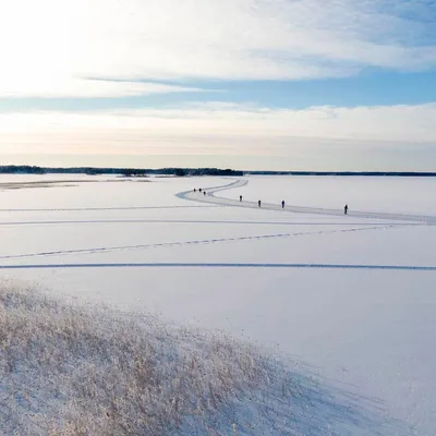 ActivityLong-distance skating on StorsjönFrämlingshemsvägen 21, Årsunda
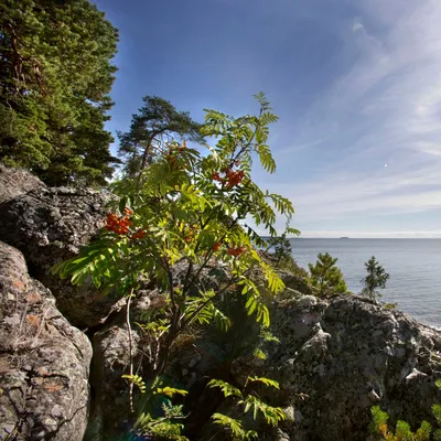 ActivityThe Norrlandet seaside hiking trailBönavägen
Sources and data
Visit Sweden national API and Sweden's regional tourism organisations. Text and ranking by Sweden Herald. Facts are checked against the sources above; opening hours and prices can change, so check with the place before you go.
Something wrong? Tell us · Work with us · Updated 7 November 2026