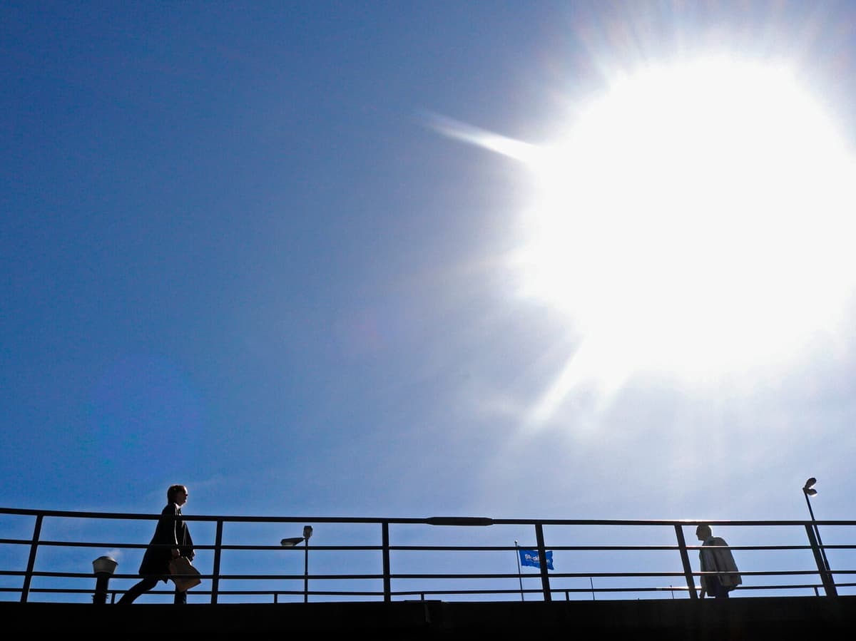
Over the past few days, a high-pressure system with its center over Scotland and the North Sea has gradually moved southeast – which has meant, and means, a northwesterly wind direction and cooler air in Sweden, despite the sun also peeking through.
But now this week, this high-pressure system will continue to move southeast, down over the northern continent and towards the end of the week down over western Europe, says SMHI's meteorologist Erik Höjgård-Olsen.
When the high-pressure system has moved, Scandinavia will instead get a southwesterly wind direction. And with the southwesterly wind comes milder air with continued sunny weather.
Towards the weekend, it could probably reach, if not up to, at least around 15 degrees in several places, says Höjgård-Olsen, but adds that it's too early to say exactly where the highest temperatures will be measured.
Is spring warmth coming to stay now?
The short answer to that question is probably no. But we only make forecasts for ten days, so our forecast doesn't show whether there will be more setbacks afterwards.
But before the weekend's warmth, there's still strong winds ahead – mainly in Norrland – and SMHI has issued both yellow and orange weather warnings for Tuesday and Wednesday in the mountains.