Key facts
- Website
- upplevnorduppland.se
Is this your venue? Verify your listing
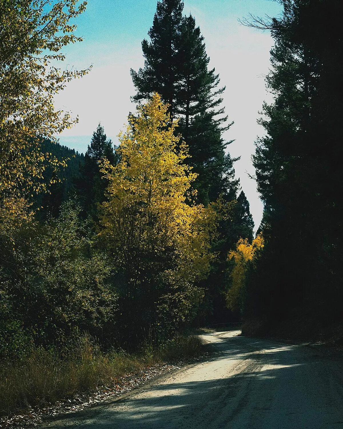
The Tämnarån canoe trail follows the river from Lake Tämnaren to the sea at Karlholm, a distance of about 50 km. The route passes fields, pastures and forest, as well as the mills at Ullfors, Strömsbergs, Västland and Karlholm, which are described as historically interesting. Most of the river is suitable for paddling, but conditions change during the year. Vegetation, water depth and current speed can vary greatly. The river has the least vegetation in spring and early summer.
Paddlers need to lift their canoes past obstacles at several points, including dust hatches and stretches of flowing water. Bridges help paddlers get into and out of the river. Look for signs with a canoe-transport symbol: they show the way to the next loading place. Bridges that belong to the canoe trail are marked. The route is described as adventurous because of these changing conditions and obstacles. The information describes the route and paddling conditions, but does not give a price or a typical visit length.
Good to know
Spring and early summer have the least vegetation. Watch for canoe-transport signs pointing to the next loading place.
Get there
Ratings and reviews
The readers' rating shows from 3 ratingsBeen to Tämnarån canoe trail? Rate it with the same Sweden Herald account you use for comments. Ratings come from readers only, never from the place, and nobody can pay to change them.
More parks and nature in Uppsala
See the list NatureMarmafjärdens canoe trailÄlvkarlebyNatureLilla Färnäset canoe trailLilla Färnäsets kanotled ligger vid Storfjärden, sydväst om Älvkarleby.
 NatureVikingaleden
 AttractionTrollsjön in TierpTrollsjön, Tierp
 ActivityKayakomat FärjenäsKarl IX:s Väg 20, Göteborg
 ActivityBrunnsvikens KanotklubbFrescati Hagväg 5, Stockholm
Sources and data
Visit Sweden national API and Sweden's regional tourism organisations. Text and ranking by Sweden Herald. Facts are checked against the sources above; opening hours and prices can change, so check with the place before you go.
Something wrong? Tell us · Work with us · Updated 3 November 2026