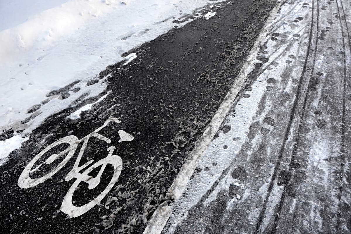
The snow cover doesn't look great, says Viktor Bergman, meteorologist at SMHI.
The week begins with messy winter weather in the northern parts of the country.
SMHI has issued orange warnings for snow and wind for the Västerbotten Mountains and large parts of the Norrbotten Mountains. Additionally, there is a yellow warning for the northern Jämtland Mountains. The warnings apply from Monday morning to Tuesday.
It will be quite windy and it's not something you should venture out in, says Bergman.
Yellow warnings have also been issued for the risk of sudden ice slicks due to undercooled rain in several areas of Västernorrland County, Jämtland County, Västerbotten County, and parts of the Norrbotten coast on Monday.
Dangerous Avalanche Conditions
In the western Vindelfjällen and southern Lapland Mountains, the risk of avalanches is significant. This means hazardous conditions and a level 3 on the five-grade risk scale.
New snow, strong winds, and temperature fluctuations make the snow layers in the area very weak and unreliable, warns the Nature Conservation Agency's website Avalanche Forecasts.
The avalanche warnings apply until 6 pm on Monday.
The weather shift takes hold simultaneously as a deep low-pressure system over the Norwegian Sea brings mild weather and clouds – initially over southern Sweden.
"Slippery Again"
The plus degrees advance northwards during Tuesday and by mid-day, only northern Norrland has some minus degrees left, according to SMHI.
Then it looks like it will temporarily clear up and freeze during the night to Wednesday. Then it can become slippery again, and that also applies to the south, says Bergman.
The week continues with the mild air lingering and eventually reaching the northernmost parts of the country.
Thursday can become really mild, with up to 8-9 plus degrees in the south.
Will winter return?
The forecast for the weekend is a bit more uncertain, but most indications suggest that it will continue to be mild. Right now, there is no clear return to winter weather in sight.
SMHI has three levels of weather warnings:
Yellow warning: Consequences for society, some risks for the general public.
Orange warning: Serious consequences for society, danger for the general public.
Red warning: Very serious consequences for society, great danger for the general public.
The avalanche risk is divided into a five-grade scale:
1. Low risk. Conditions are generally safe. Snow can be unstable in isolated areas. Avalanches unlikely.
2. Moderate risk. Hazardous conditions in parts of the terrain. It is possible for people to trigger avalanches, but spontaneous avalanches are unlikely.
3. Considerable risk. Hazardous conditions. It is likely that people will trigger avalanches and spontaneous avalanches are possible.
4. High risk. Very hazardous conditions. It is very likely that people will trigger avalanches and spontaneous avalanches are probable.
5. Very high risk. Human-triggered and spontaneous avalanches will occur with certainty.
Source: Lavinprognoser.se


