Thursday and Friday will see rain and showers with a risk that large amounts can fall in areas in Västernorrland that have already been heavily affected, according to a yellow warning from SMHI. The expected rain is, however, clearly less than last weekend, when around 100 millimeters fell and locally even more.
We have taken into account that so much rain has already fallen in this area previously. If it hadn't been so, it's unlikely that there would be a warning there now, says Mattias Lind, meteorologist at SMHI.
Thursday is expected to be relatively calm in the area, but the bad weather is expected to worsen during the night.
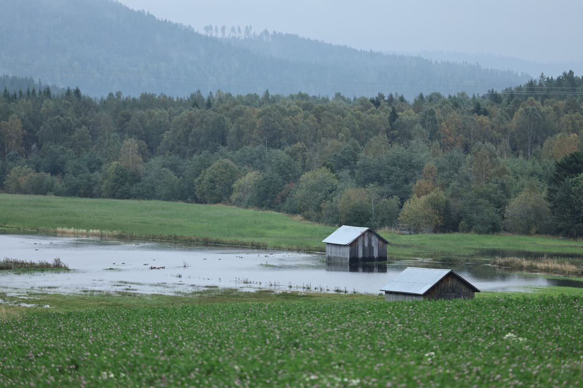
A yellow warning has been issued for high water flows in the Moälven river in Örnsköldsvik municipality, where the weekend's heavy rainfall is moving downstream in the Anundsjöån river and causing rising water flows. It is around this area that the municipality has identified increased risks of flooding, from Bredbyn down to Mellansel.
For water levels, increases are noted at all locations except previously affected Kubbe, according to a situation update from the municipality.
It's exactly as expected. It matches the different scenarios we've made of where the water levels will rise, says municipal director Magnus Haglund.
The updates from SMHI look a bit better than feared, he says.
Now it seems that the rain is coming a bit further south than the most affected areas and that's good for us.
Property owners in risk areas are still urged to be vigilant and prepare themselves, among other things by moving objects from basements that can be damaged, covering openings where water can seep in and also having a water pump to use if needed.
We don't really know how it will go, but it feels like we have good control and it's positive that there will be less rain. We have good hopes that it will go in the right direction now, says Magnus Haglund.
The expected bad weather during the night may cause the opening of roads to be delayed.
More and more roads can be opened, but there's a lot that's uncertain with the new rainy weather, says the Swedish Transport Administration's director-general Roberto Maiorana at a press conference.
All available resources have been deployed from our side and from our contractors' side.
Up to 100 millimeters of rain fell in a short time on Sunday, September 7, and mainly affected Härnösand, Kramfors, Sollefteå, and Örnsköldsvik.
Around 40 roads were damaged or washed away and two trains derailed.
The rain has caused major flooding, including in Kubbe outside Örnsköldsvik, where large parts of the village were underwater.