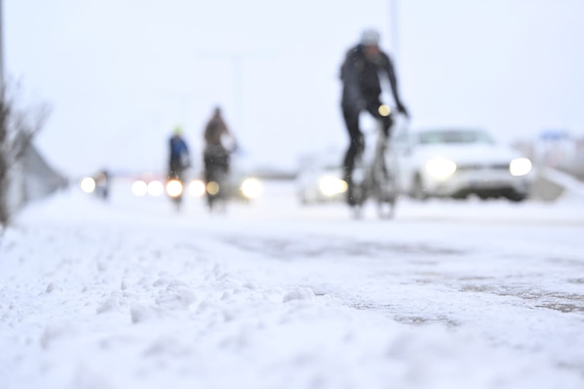
This week, snow and strong winds have caused problems throughout the country. Soon, another low-pressure system is expected to bring both snow and increasing winds.
Already on Sunday morning, a smaller snowfall area will move in over northwestern Götaland and larger parts of Svealand, says SMHI's meteorologist Linus Karlsson.
Issuing warnings
For Monday and Tuesday, yellow and orange warnings have been issued for large parts of the country regarding snowfall in combination with wind. This can cause problems in traffic with a risk of drifting snow and poor visibility.
You might want to take an extra moment to think about whether you need to venture out into traffic or if you can wait...
Airborne power lines may also be affected. Linus Karlsson emphasizes the importance of preparing for power outages.
Up to three decimeters of snow
The orange warnings apply to parts of southern Norrland and western Svealand for Monday and Tuesday. The amount of snow is expected to vary greatly due to the winds, and at most, it can reach up to three decimeters.
The snow that falls during Monday, it's about several decimeters.
In addition, a yellow warning has been issued for large parts of southern Norrland, parts of Svealand, and large parts of Götaland for Monday. There, too, strong snowfall is warned of, which can cause problems in traffic. During the day, the snowfall is expected to increasingly turn into rain.
SMHI has three levels of weather warnings:
Yellow warning: Consequences for society, some risks for the general public.
Orange warning: Serious consequences for society, danger for the general public.
Red warning: Very serious consequences for society, great danger for the general public.


