Thunderstorms, heavy downpours and strong gusts of wind are expected across large parts of Sweden on Saturday. By Saturday morning there had been 2,500 lightning strikes, according to Göteborgs-Posten.
The largest concentrated thunderstorm area, at 4 p.m., stretched from the east coast of Östergötland to southern Dalarna and was moving northeast.
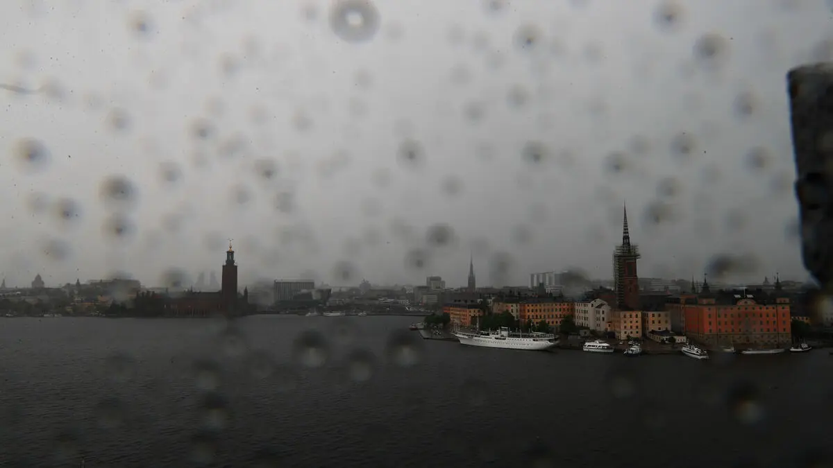
The storm is expected to reach the Stockholm area at 5 p.m. It is currently over Lake Mälardalen, says Erik Höjgård-Olsen.
Thunderstorms, heavy rain and lightning are expected in the early evening, and by 8 p.m. the worst is expected to have moved further north.
Scattered thunderstorms throughout the country
The thunderstorms will reach the Norrbotten coast, Luleå and Piteå at 8 p.m. this evening and will leave the country in the early hours of the morning, says Erik Höjgård-Olsen.
Yellow warnings are in effect on Saturday.
Anyone who has planned to watch the World Cup match between Sweden and the Netherlands on an outdoor screen has the best chance of doing so in western Svealand and large parts of Götaland where the storm has passed.
But there may be lingering showers there. Across Sweden, in addition to the concentrated area, there are also scattered thunderstorms here and there, says Erik Höjgård-Olsen.
The Swedish Transport Administration is in a state of emergency.
SMHI warns that the heavy downpours increase the risk of flooding and urges people to clean gutters and stormwater drains.
It's also a good idea to secure trampolines and other loose objects because strong gusts can occur during thunderstorms, says Erik Höjgård-Olsen at SMHI.
Anyone planning to travel by road or by train is advised to expect delays due to the thunderstorm. The Swedish Transport Administration has stepped up preparedness with increased resources to combat disruptions on roads and railways.
Lightning strikes can also affect electrical and telecommunications networks, and trees can fall in the gusts of wind.
On Saturday, SMHI had problems with both its app and website due to the large number of people using them.