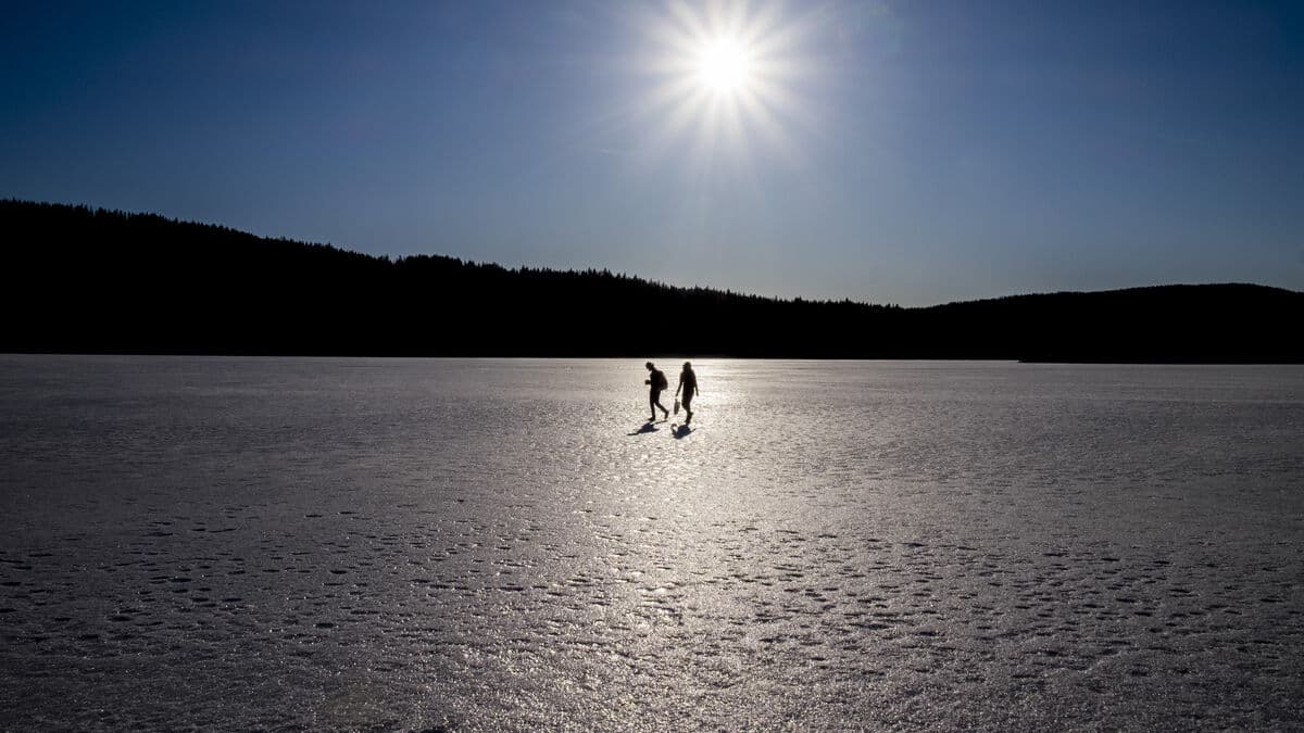
The last days of the year will generally be clear and sunny with temperatures below freezing across most of the country.
During the night into New Year's Eve, a low-pressure area that can bring snow from Västerbotten will pass over eastern Norrland, eastern Svealand and easternmost Götaland. However, the real snowfall will not come until the fireworks have died down.
Only the northernmost part of the country does not look likely to get any snow due to the low pressure that will move in on New Year's Day, says Max Lindberg Stoltz, meteorologist on duty at SMHI.
Three decimeters
Gävleborg County, hard hit by storm Johannes, looks set to receive the heaviest snowfall - up to three decimeters on New Year's Day. Parts of Jämtland and Västernorrland could also receive similar amounts.
The Stockholm area, Dalarna, Sörmland, Uppland, Västmanland and northern Örebro may receive just over a decimeter of snow.
There are relatively large amounts of snow there too, but the center of gravity appears to be over northern Gävleborg County, says Lindberg Stoltz.
Strong wind
Storm Johannes has moved on, but the wind is lingering. SMHI has issued yellow gale warnings over all waters during Monday and Tuesday. In the northern, central and southeastern Baltic Sea, the warning remains in place even on New Year's Eve.
On Tuesday, an orange warning has been issued for wind around Fårö and Fårösund.
Destination Gotland has cancelled two departures between Visby and Oskarshamn on Tuesday due to severe weather. Eckerölinjen has cancelled four departures between Grisslehamn and Eckerö on Monday evening and Tuesday for the same reason.


