El Niño conditions mean that surface waters in the eastern Pacific Ocean are warmer than normal. According to the World Meteorological Organization's (WMO) latest report, surface water temperatures are rising rapidly, which could indicate El Niño conditions as early as May to July this year.
Data from the US weather agency NOAA show that there is a slightly more than 50 percent chance that a strong El Niño will develop toward the end of the year, says Erik Kjellström, professor of climatology at SMHI.
It is still too early to say anything in detail, but the likelihood of an El Niño that could develop into a strong one later this year has increased significantly during the spring.
Closer to the equator
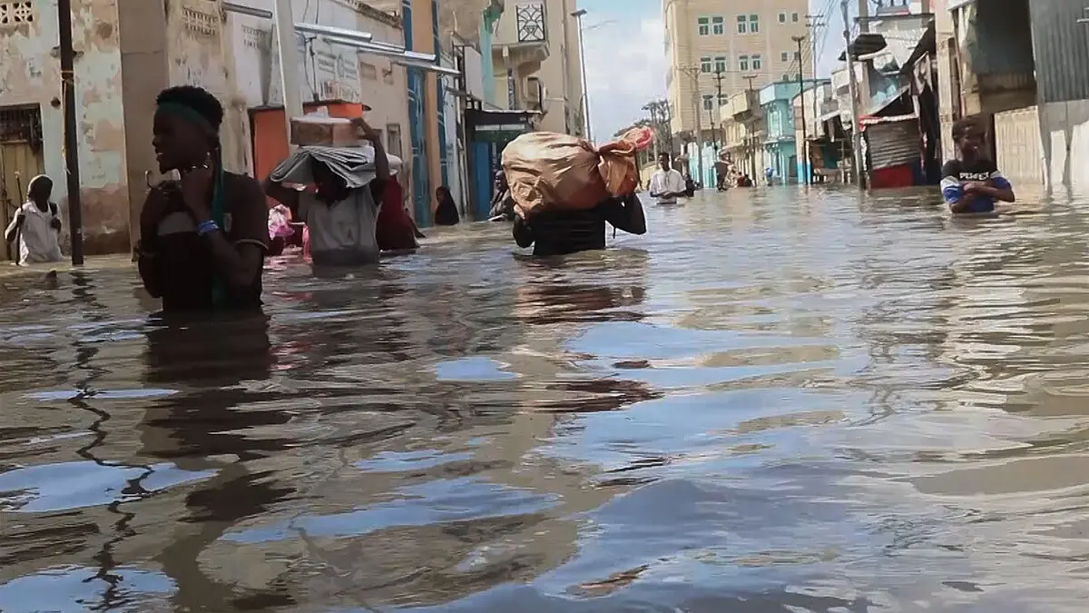
The areas most affected by El Niño conditions are closer to the equator and can experience greatly increased precipitation or severe drought. Here in the north there is no clear signal.
There are studies that indicate that during a strong El Niño, it is relatively common to have slightly colder winters here in Scandinavia. But that is not 100% certain and cannot be used to make reliable forecasts.
But that doesn't mean that El Niño can't have consequences for the entire planet.
The last El Niño conditions were in 2023–2024, and 2024 became the warmest year on record through the combination of a powerful El Niño and human-caused climate change.
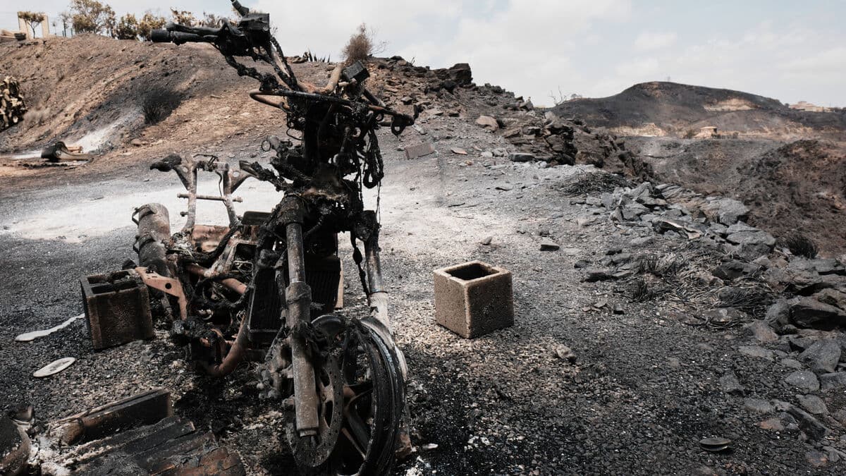
Although it is too early to draw any definitive conclusions, there are also signs that a "super-El Niño" is developing, which would exacerbate extreme weather events in large parts of the world and contribute to raising global average temperatures.
Risk of extreme weather
There is no clear evidence that climate change is affecting the frequency or intensity of El Niño, but it may amplify the effects of the weather phenomenon. In short - extreme weather is likely to become more extreme.
As we get a warmer climate, we also get a more intense hydrological cycle, so both precipitation and evaporation increase in intensity, explains Erik Kjellström.
If you imagine an El Niño situation with very dry conditions in Australia, the dehydration in a warmer climate could be even more severe. But where it rains a lot, like Ecuador and Peru or parts of the USA, the precipitation could be even more severe in a warmer climate.
El Niño and La Niña are phases of the El Niño-Southern Oscillation (ENSO) weather cycle. El Niño warms the surface waters of the eastern Pacific Ocean, while La Niña cools them.
El Niño occurs on average every two to seven years and typically lasts nine to twelve months. It often peaks around Christmas, hence the name El Niño (the boy child).
El Niño effects, such as increased rainfall, typically affect parts of southern South America, the southern United States, the Horn of Africa, and Central Asia, while severe drought can occur over Australia, Indonesia, and parts of southern Asia.
The 2023–2024 El Niño is said to be one of the five strongest ever recorded.
Source: WMO, SMHI, NOAA