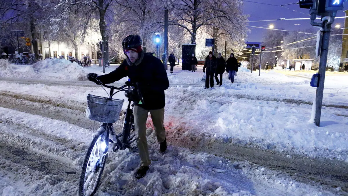
The snowfall will move in from the west on Wednesday morning and is expected to bring between five and ten centimeters of snow, in some places up to fifteen centimeters.
At times it can be abundant, but there are very large local variations so it is difficult to say exactly where the largest quantities end up, says Hilda Westberg.
Traffic may be difficult to navigate on Wednesday when snowy roads risk leading to traffic accidents or queues, SMHI warns. Travel times may also be longer due to slippery conditions and poor visibility.
SMHI's yellow warning applies to Västra Götaland and Värmland west of Lake Vänern. However, large parts of Götaland can expect occasional snowfall in the coming days.
On Tuesday evening, another yellow warning was issued for parts of inner southern Götaland, where 5-10 cm of snow is expected. The warning is in effect from 6 p.m. on Wednesday until noon on Thursday.
Starting Wednesday morning, it will move east. It will then remain with snow or perhaps rain or sleet on the coasts, and looks to ease off during Thursday evening and the night into Friday, says Hilda Westberg.
The yellow warning in Västra Götaland is valid until 7 p.m. on Wednesday evening.


