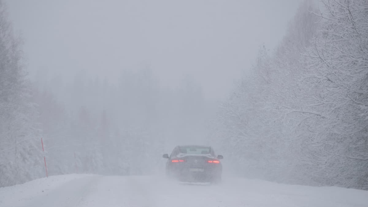
A low-pressure system is forming southeast of Sweden and moving northeast over the Baltic region. In connection with this, the southeastern parts of Sweden will be affected, says Sofia Söderberg, meteorologist at SMHI.
On Friday, it will first rain over Gotland during the day, then turn to snowfall.
The orange warning for Gotland applies from 18:00 on Friday and for 24 hours ahead. According to this, between 15 and 25 centimeters of snow may fall.
It will also be windy, and SMHI is warning of potential major traffic problems with snowdrifts and poor visibility.
It's both snowfall and wind that will cause problems. The amounts are very difficult to predict, says Sofia Söderberg.
A yellow warning has also been issued for Öland and parts of Kalmar County. It applies from Friday evening to Saturday afternoon.
According to the warning, between five and ten centimeters of snow may fall in combination with strong winds.
Destination Gotland is canceling a departure from Nynäshamn to Visby on Friday evening and a departure from Visby to Nynäshamn on Saturday morning, according to local media.
A departure from Oskarshamn to Visby, which was scheduled to depart on Friday evening, is being postponed to Saturday evening.
SMHI has three levels of weather warnings:
Yellow warning: Consequences for society, some risks for the general public.
Orange warning: Serious consequences for society, danger for the general public.
Red warning: Very serious consequences for society, great danger for the general public.


