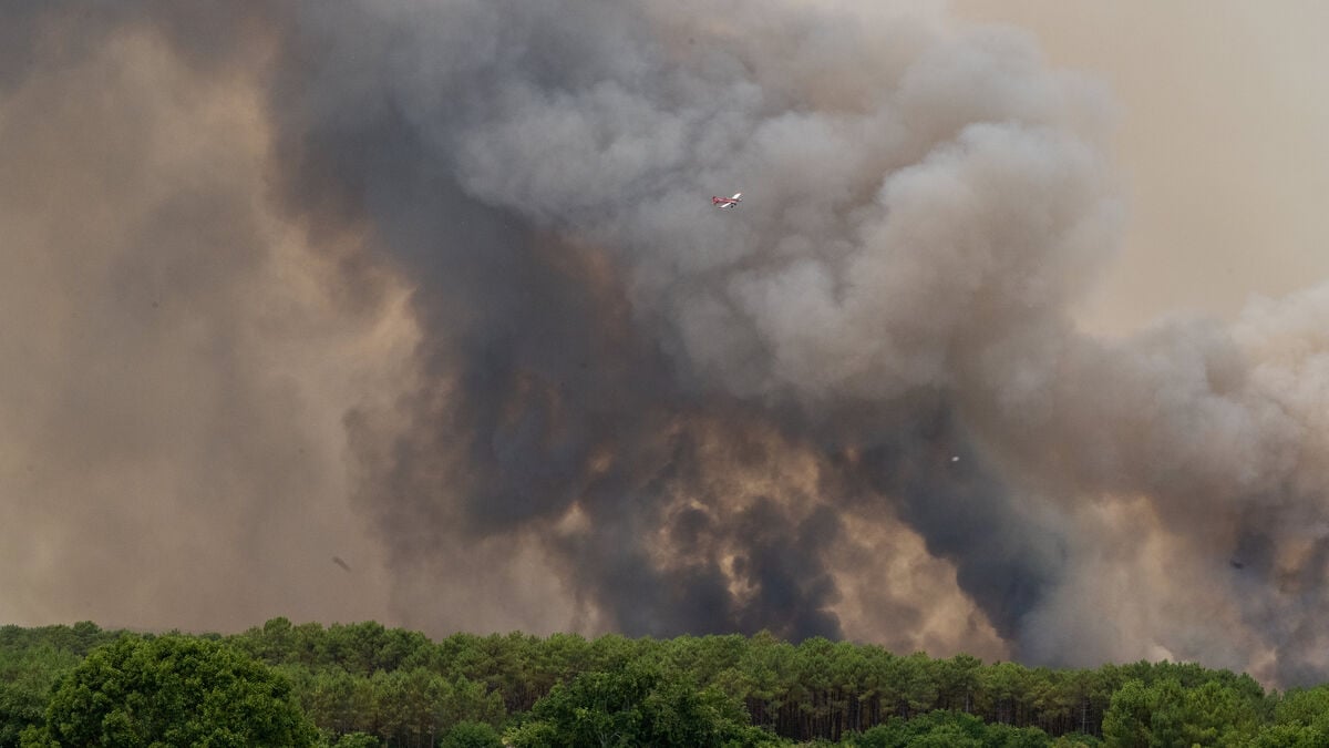
In connection with the ongoing giant fires, meteorologists were able to determine last week that the phenomenon had reached France. It is called pyrocumulonimbus, loosely translated as a fire thunder cloud - that is, when a forest fire creates a thunderstorm.
Very special circumstances are required, which makes pyrocb rare in Europe. Erik Kjellström, professor of climatology at SMHI, says that a survey in 2013–23 found around 760 cases of fire thunder clouds globally.
The vast majority in Canada, the United States, far away in eastern Russia and Mongolia, and in Australia. Those are the three main areas, you could say.
Then it was about one percent, or more precisely eight cases, in Europe.
All of them were far down south.
In Spain, Portugal and Greece.
Extreme winds
Cumulonimbus is the technical term for thunderclouds, while the prefix "pyro-" means that it was created by a fire.
The reason they are feared is the enormous power they unleash. The heat of the fire carries water vapor from burnt vegetation high into the atmosphere. When it cools there, thunderclouds form that can generate extreme winds. Sparks and embers can then be spread far and wide - and lightning can start new fires far away.
Kjellström emphasizes the role of winds.
There may be very strong gusty winds around the cloud with different wind directions, which can further complicate firefighting.
And in Australia, the catastrophic fires of the summer of 2019–20 showed signs that human-caused climate change is exacerbating the problem.
Also in Europe
Kjellström tells about a study in southeastern Australia, which compared how favorable the weather and climate were for the formation of pyrocumulonimbus during two 20-year periods, at the end of the 20th century and at the beginning of the 21st century.
There it was seen that there had been approximately twice as many days with favorable conditions.
And future climate simulations pointed to an increase of several more days both during the spring and summer down there.
A similar study shows that fire thunder clouds will also be able to occur more frequently in Europe.
The study shows that it is becoming both warmer and drier, which is a basic requirement for fires to occur.
It also shows that a continued warmer climate provides more favorable temperature conditions in the atmosphere for such clouds to form, says Erik Kjellström.