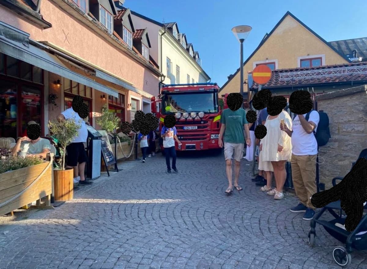
Visby city center, with its winding cobblestone streets and narrow alleys, is a nightmare to get through with a large fire truck.
When the alarm goes off, we want to have the best possible route to the affected area, but it doesn't have to be the closest one, because maybe an event is in progress, or there are queues after a recently completed concert, says fire inspector and incident commander Henrik Johansson.
Today, the control center has to keep track of much of this manually, but a new tool is being developed that will help with this.
Together with the rescue services in Västervik and Norrtälje, and with the support of Vinnova funds, AI is used to read emails and PDFs with information about roadworks, which are automatically entered into the map system. The system should also be able to warn so that two planned, separate roadworks do not make it impossible to reach an accident site.
In addition, sensors on streets and squares, as well as mobile data and information from map services in the future, can detect temporary obstacles such as crowds or stationary vehicles that limit accessibility.
The project is scheduled to be completed in November, and can also be spread to other emergency services.
It's a bit fun that the conservative rescue service gets to try some AI, says Johansson.