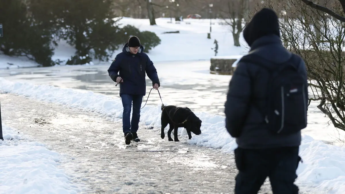
In large parts of Götaland, Svealand and southern Norrland, the night before Friday was clear and very cold. Early morning commuters had to dress properly to avoid freezing.
It was minus 20°C in some places in southeast Götaland, and even in parts of Uppland. In the Gothenburg area it was almost minus 10°C even though there was some fog, says Magnus Nilsson Sangrud, meteorologist at SMHI.
More unstable weather awaits
But by the afternoon, it's time to peel off the layers. As milder air moves in, temperatures will rise and will generally be between about -2°C and 0°C on Friday.
"Many parts of southern Sweden probably have a 15-degree difference between morning and daytime temperatures. That's a big temperature difference during the day," says Magnus Nilsson Sangrud.
And it looks like we'll have to get used to changing weather in the future. The chilly weather of recent weeks, with high pressure that has brought freezing temperatures to almost the entire country, will give way to milder weather in southern Sweden.
There will be more swings between above and below freezing, with snow and some rain passing through. The weather will be more unstable and milder in the coming days.
“Proper cold again”
During Friday evening and into Saturday morning, a yellow warning for heavy snowfall has been issued along the west coast, from Uddevalla down to Lund.
There could be significant amounts of snow and sleet, a little over a decimeter locally, says Magnus Nilsson Sangrud.
The warning is in effect until 11 a.m. Saturday.
In the northern part of the country, however, the crisp and chilly weather will persist in the coming days.
Norrland has a high-pressure ridge that is returning, so it could be reinforced with real cold again both during the weekend and at the start of next week.