
Key facts
- Address
- KosterMap and directions
- Website
- vastsverige.com
Facts checked November 2026.
Is this your venue? Verify your listing
Koster usually means the two main islands, Nordkoster and Sydkoster. The islands are almost car-free and surrounded by Kosterhavet, Sweden’s only marine national park. You can explore on foot or by bicycle; the islands have marked walking routes.
Nordkoster has two circular routes, each just under 5 kilometres. The route takes in the cobble fields, where rounded stones cover the ground, and the lighthouse viewpoints at Högen, the island’s highest point. On Sydkoster, a walk around the island is about 14 kilometres. Shorter sections of 3 to 7 kilometres are also possible.
Sydkoster’s listed sights include the Kosterhavet visitor centre, the viewpoint at Valfjäll, Breviks harbour, Kilesand beach and the snorkel trail at Rörvik. The island can also be explored by bicycle. Kosters Trädgårdar has a restaurant, café and farm shop. Pensionat Ekenäs Koster and Kostergården offer food and accommodation. A walking and cycling map is available to download.
Good to know
Download the walking and cycling map before setting out.
Get there
Koster
Ratings and reviews
The readers' rating shows from 3 ratingsBeen to Vandring i unik skärgårdsmiljö? Rate it with the same Sweden Herald account you use for comments. Ratings come from readers only, never from the place, and nobody can pay to change them.
More parks and nature in West Coast (Bohuslän)
See the list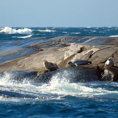


Sources and data
Visit Sweden national API and Sweden's regional tourism organisations. Text and ranking by Sweden Herald. Facts are checked against the sources above; opening hours and prices can change, so check with the place before you go.
Something wrong? Tell us · Work with us · Updated 3 November 2026