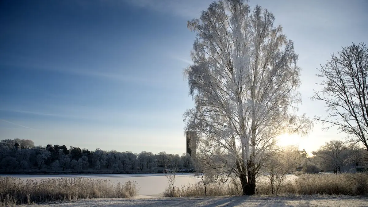
After an unusually mild December, a change in weather is taking place this weekend when high pressure moves in. On Sunday it is "fairly well established" and will remain until Christmas Eve, according to Linnea Rehn Wittskog, meteorologist at SMHI.
A lot of low pressure has passed through the country, but now a high pressure is establishing itself over large parts of Scandinavia and with it it will be colder. The high pressure will remain at least until Christmas Eve before it starts to shift south.
On Christmas Eve, minus ten degrees is expected in the far north and zero degrees in the south. Only Gotland and southern Värmland will get a plus degree.
However, high pressure in winter does not by definition mean sunny weather, Linnea Rehn Wittskog emphasizes.
If mist and fog form at night, it can be difficult to clear during the day because the sun is so weak. However, there is still fairly dry air sweeping down over the country.
On Christmas Day, a low pressure area passes north of Scandinavia, after which the weather becomes milder even in Sweden, with temperatures above zero even in the far north.
But it is temporary, by Saturday (27/12) it looks like cold air could once again descend over the country, says Linnea Rehn Wittskog.