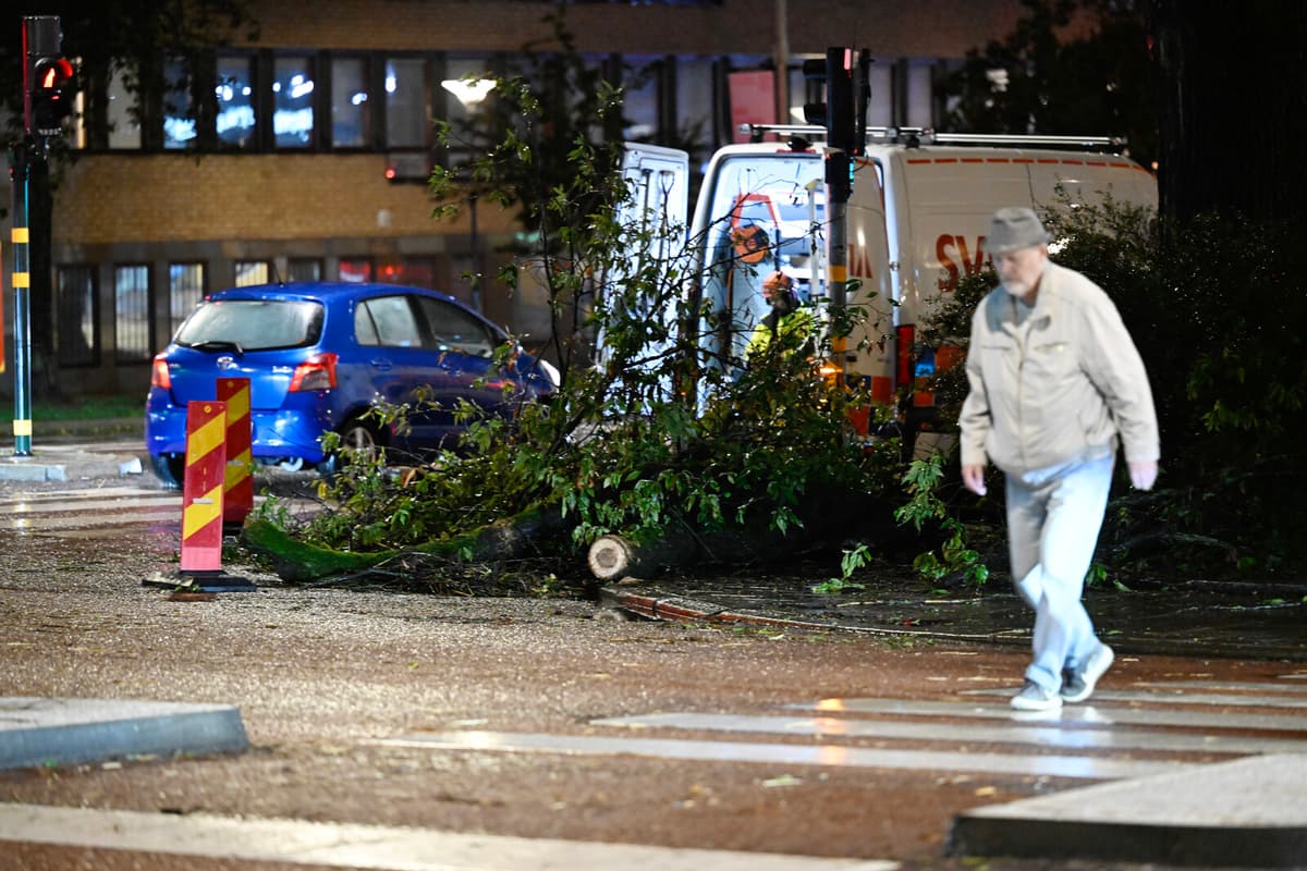
During Thursday evening's storm, several trees have fallen over roads and caused problems in traffic in Stockholm and Uppsala counties. In Sigtuna municipality, a person has been taken to hospital after a tree fell over a car, according to UNT.
The Swedish Meteorological and Hydrological Institute has issued a yellow warning for very strong gusts of wind of up to 24 meters per second in Södermanland and Stockholm counties' coastal areas.
It is occasionally quite windy in connection with these showers. The yellow warning applies for the rest of the evening, tonight the wind will decrease, says Christopher Greenland, meteorologist at the Swedish Meteorological and Hydrological Institute.
Power outages
Due to the storm, a total of around 20,000 customers with Ellevio and Vattenfall have been affected by power outages.
"The storm has caused power outages and we are working as well as we can to fix these during the afternoon and evening", Ellevio writes on its website.
Public transport in Stockholm has also been affected by major disruptions when trees have fallen over the tracks and, among other things, the Roslagsbanan is cancelled, according to SL.
According to Christopher Greenland, we are still in an unstable weather period caused by a low-pressure area between the British Isles and Iceland, which with its associated fronts stretches into the country.
The fronts are moving north over Sweden and it will be rain that affects almost the entire country in the coming days. Periodically, the rain can be heavy and contain some thunder, he says.
Continued rain
In the Stockholm area, 10-20 millimeters of rain is expected during Thursday evening. On Friday, another rain belt moves in with approximately the same amount.
More rain, up to 20-30 millimeters, is expected in the previously heavily flood-affected areas in Västernorrland. There, the Swedish Meteorological and Hydrological Institute has also issued a yellow warning for Friday.


