This low pressure will move in towards the West Coast on Monday evening, but it is primarily during the night towards Tuesday that it will start blowing, says Kristin Sahlström, meteorologist at SMHI.
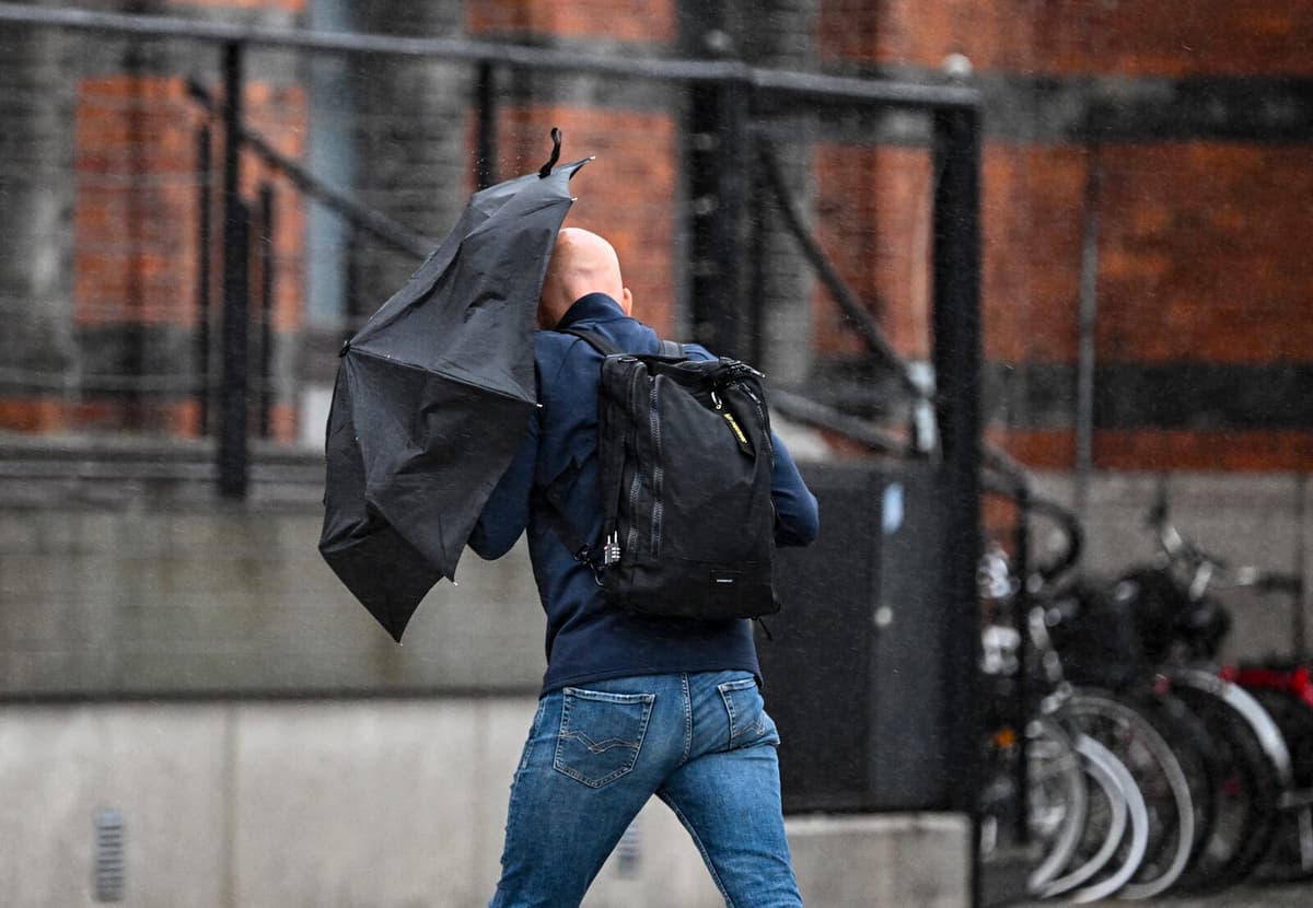
The strong winds will primarily affect Västra Götaland and Västra Svealand, and in Bohuslän, it may be a matter of really strong winds with storm force in gusts.
On Sunday, SMHI issued a yellow warning for large parts of Västra Götaland County and southern Värmland County. The area may be affected by strong to very strong gusts, locally with storm gusts, from Tuesday morning at 8 am and for the next twelve hours.
SMHI writes in its warning that other parts of southern Sweden may also experience windy weather and that the warning area may change.
When it blows a storm, there is a risk that trees will fall, for example. And especially now in the summer.
When it's summer, the trees have a lot of leaves, which makes them have a larger windcatch, and they can fall at lower wind speeds than in the winter, when there can also be frost in the ground, says Sahlström.
Another problem with storm winds in the summer is that people often have more things outside in gardens and on balconies.
It may be a good idea to review what you have outside and pick up loose objects.