It became quite windy during Saturday morning along the west and south coasts. SMHI has measured hurricane winds in gusts out at sea, in northern Halland.
We have seen wind speeds of 33 meters per second in gusts. It's Nidingen that reports it. So it has started blowing really hard, says meteorologist Emma Härenstam to TT in the morning.
There were also reports of storm gusts from northern Öland. Later in the day, reports also came in of blown-down trees further north and east, in Östergötland, Närke and Södermanland.
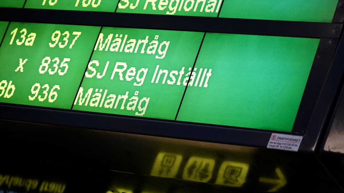
Train traffic is largely canceled in Skåne, and there have also been major disruptions in other parts of western and southern Sweden, mainly Västra Götaland. But traffic is expected to be able to get going in the evening in most places.
Closed runway
Air traffic is also disrupted with several postponed departures. The worst affected is Norway and it affects SAS in the entire Nordic region because crews who are to go to other flights do not arrive.
The weather is causing trouble without a doubt. In Copenhagen, one runway has been closed. The main runway is very windy at Kastrup, says SAS's communications manager Alexandra Lindgren Kaoukji.
Trafikverket also reports fallen trees in Halland and in Västergötland, including in central Gothenburg.
Roller coaster stopped
The storm has caused power outages in southern and western Sweden. The worst affected was Västergötland and Värmland, where a total of 29,500 Ellevio customers temporarily lost power in the area. By 6 pm, almost everyone had gotten the power back.
At the amusement park Liseberg, the attraction Lisebergsbanan stopped and the passengers had to be evacuated. According to GP the train stopped just before a steep descent after a tree fell and the train drove through the branch.
During the afternoon, the wind has subsided, however.
It's starting to calm down in the southwestern parts of the country, but in the eastern parts of Götaland and Svealand, some yellow wind warnings remain, says Emma Härenstam.
More rain in Västernorrland
In the evening and night towards Sunday, it will be windiest further north. In Västernorrland, gusts can reach 20-23 seconds per meter.
The rain area that is moving north will be most intense over Västernorrland during the night. According to the latest forecast, it may be a matter of larger amounts of rain than previously predicted, says Emma Härenstam.
In early September, the same area was hard hit after a rainstorm and several roads and railways were washed away, and residential areas were flooded.
SMHI has three levels of weather warnings:
Yellow warning: Consequences for society, some risks for the public.
Orange warning: Serious consequences for society, danger for the public.
Red warning: Very serious consequences for society, great danger for the public.