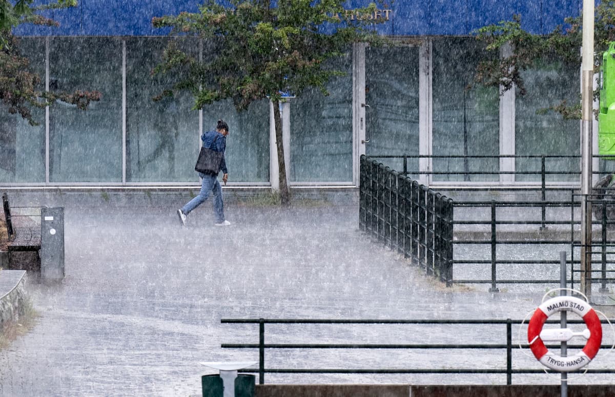
For large parts of Skåne county and the southernmost Halland, a yellow warning for rain similar to cloudbursts applies throughout the night and into Wednesday morning.
The rain seems to continue for a bit into the week. For Wednesday, the SMHI has issued a yellow warning for rain similar to cloudbursts in parts of southeastern and southwestern Svealand and northwestern and southwestern Götaland, where 30 to 50 millimeters can fall in a short time. Thunder can also occur.
The SMHI also warns of cloudbursts in southern Götaland on Thursday.
Floods
In Gothenburg, cloudbursts and thunder during Tuesday afternoon led to several football matches in the Gothia Cup being interrupted, but could later be resumed, according to TV4 News.
The Nordstan gallery was affected by flooding during the evening, which local media has reported on. During Tuesday evening, the rescue service has received alarms about flooded basements in several places – but around 9 pm, it has calmed down, according to Betina Svensson, alarm and control operator.
We went out on maybe five or six of the alarms we received, says Svensson.
Also in other parts of western Götaland, basements have been flooded – for example, in Kinna in Marks municipality, reports P4 Sjuhärad.
Rain records
Totally during Monday, the SMHI registered 3,865 lightning bolts over Sweden, which makes it the summer's most thunderous day so far.
On Monday evening, a new Swedish record for highest precipitation intensity was also noted, according to SMHI. Between 6:08 pm and 6:09 pm, i.e. in one minute, the automatic station in Tännäs in Härjedalen reported 4.9 millimeters of rain.
Over 10 minutes, between 6:06 pm and 6:16 pm, a total of 21.6 mm fell at the location.
The SMHI also warns of high temperatures in the inner parts of central Norrland. There, the daytime temperature is expected to be at least 30 degrees on Wednesday and Thursday. The risk of forest fires is very or extremely high in large parts of northern Sweden.