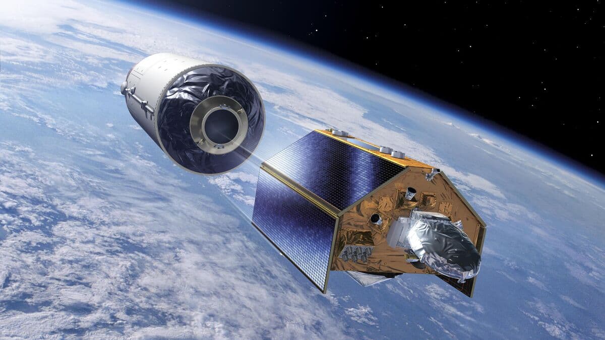
Sentinel-6B is the name of the satellite that will cover the entire surface of the planet in ten days. The ocean is being surveyed using a radar so advanced that it registers sea level changes at the millimetre level.
The satellite is a direct copy of Sentinel-6A, which has been orbiting Earth since 2020, and the two will complement each other.
Sea level rise – which is due to the melting of polar ice and glaciers, and the warming and expansion of the oceans themselves – has averaged 3.3 millimeters per year from 1993 to the present.
It is only thanks to these measurements from space that we can produce these figures, says Pier Bargellini, program manager, at a press conference.
Increase increases
The increase doesn't sound like much. But sea level rise is increasing rapidly and has been 4.2 millimeters per year for the past ten years.
The rate of sea level rise is an extremely important indicator of climate change. And the increase is almost 50 percent, says Phil Evans, director general of Europe's meteorological satellite organization Eumetsat, and continues:
Sea levels are rising and accelerating, exposing up to 900 million people living in coastal areas to increased risks.
Swedish technology
The satellite itself is controlled by a computer built by Beyond Gravity in Gothenburg, and the data collected is sent via an antenna from the same company back to Kiruna and Fairbanks in Alaska where the receivers are located. Tom Seeman at the company is proud of both the company's and Sweden's contribution to the collection of ocean information.
There are skeptics everywhere. But if we have data, we can see what is true and what is not true.
Measuring an ocean that is constantly changing, with waves, tides and seasonal variations, is complex.
It's not like you can just take out a folding rule and measure down to the sea level. It takes a lot of calculation to establish that sea level is rising 4 millimeters per year.
The data is freely available and can also be used to improve weather and storm forecasts.
Facts: Sentinel
Sentinel is the European Earth observation programme Copernicus satellite programme.
There are six different Sentinel missions, which consist or will consist of at least two satellites each.
Sentinel-6, a collaboration between ESA and NASA, is about monitoring sea levels using radar altimeters. The first satellite, Sentinel-6A, was launched on 21 November 2020.
6B, which is a copy of 6A, is scheduled to launch on a Falcon 9 rocket from Vandenberg in California on Monday at 6:21 a.m. Swedish time. It weighs 1,191 kilograms, measures 2.35 x 4.17 x 5.30 meters and is expected to be in service for at least 5.5 years.